MCCOG’s 25 member governments include:
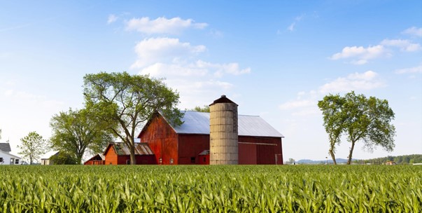
Cumberland County is a county with a population of 334,562, making it the fifth most populous county in North Carolina. Its county seat is Fayetteville. Cumberland County is part of the Fayetteville, NC Metropolitan Statistical Area. The county was formed in 1754 from Bladen County. It was named for Prince William Augustus, Duke of Cumberland (1721–1765), captain-general of the British army and victorious commander at the Battle of Culloden.
View Cumberland County's July 20, 2022 video on Diversity, Equity, and Inclusion below.
The city of Fayetteville is a thriving community located in the Sandhills region of southeastern North Carolina and is the seat of Cumberland County. Fayetteville is located adjacent to Interstate Highway 95, a major north-south corridor that links the city to Washington D.C., Baltimore and New York to the north, and to Charleston, Orlando and Miami to the south. Fayetteville encompasses portions of Fort Liberty and is adjacent to Pope Army Airfield adding significantly to the Fayetteville area economy and culture.
Few places in America have played such a formative role in our country’s most defining moments as Fayetteville, from its original settlement in 1739 by Scottish immigrants from the highlands of Scotland arriving via the Cape Fear River, through the deployment of troops to Afghanistan and Iraq today. It is here the very seeds of American freedom, democracy and patriotism were planted and continue to grow.
In 1762, the town of Campbellton, located on the Cape Fear River, was chartered by the colonial assembly. In 1778, Campbellton united with the neighboring town of Cross Creek to become Upper and Lower Campbellton.
In 1783, the North Carolina General Assembly approved the town’s official renaming to Fayetteville in honor of the Marquis de Lafayette (1757-1834), the French nobleman who served as a Major General in the Continental Army during the Revolutionary War.
One of Fayetteville’s greatest assets is its thriving downtown area and the vibrant arts and cultural community. From theatres to museums for adults and children, there is something available downtown for everyone. The Airborne and Special Operations Museum honors the city’s unique connection to our service members. A variety of festivals and special events are held throughout the year in downtown and across the city. A revitalized downtown area, complete with retail shops and dining establishments is bringing forth additional growth spurred by the $40 million baseball stadium serving as home to the Fayetteville Woodpeckers, an Astros affiliate, and Class-A Advance baseball team. Surrounding the stadium is the revitalized historic Prince Charles, offering 59 one- and two-bedroom luxury apartments. Investment and expansion opportunities will continue to rise as Fayetteville experiences growth.
Please visit https://www.distinctlyfayettevillenc.com/ to find out more about what the city has to offer.
Fayetteville is a 4-Time All-America City Award Recipient! To read the press release, pleast click here.
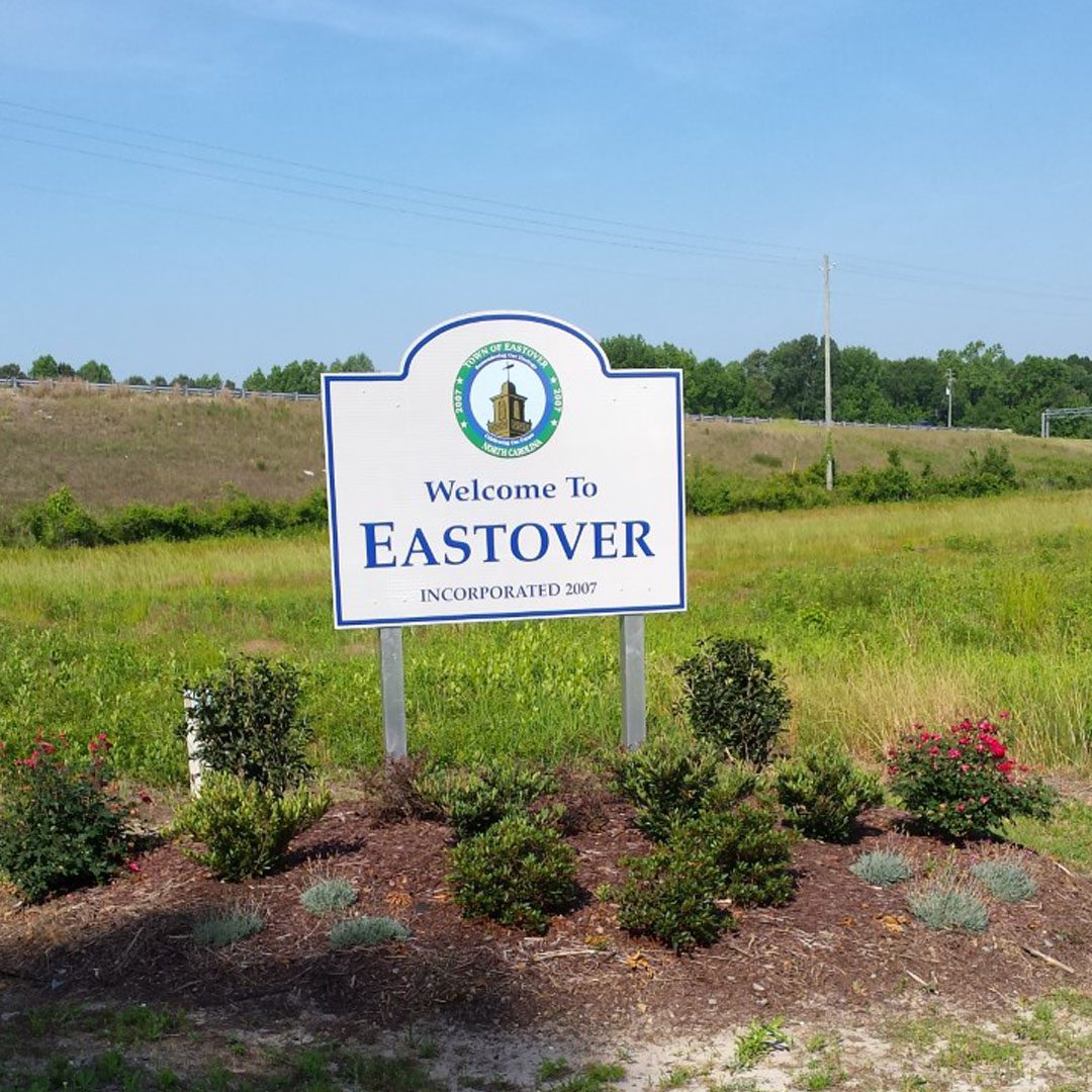
Eastover is Cumberland County’s newest municipality, incorporated by the North Carolina General Assembly on July 26, 2007. Eastover is a place where community spirit is a part of everyday life. A place where people proudly remember their heritage, live with a genuine concern for the neighbors, and unite purposefully to create for the future.
Eastover got its name “from its location on the east side and over the river. It was formerly called Flea Hill. There is a tradition that there was a tavern on the sandhill under which hogs and goats slept – hence the fleas.” (From John A. Oakes’ The Story of Fayetteville, The Story of Fayetteville and The Upper Cape Fear, 1950, Fayetteville, NC)
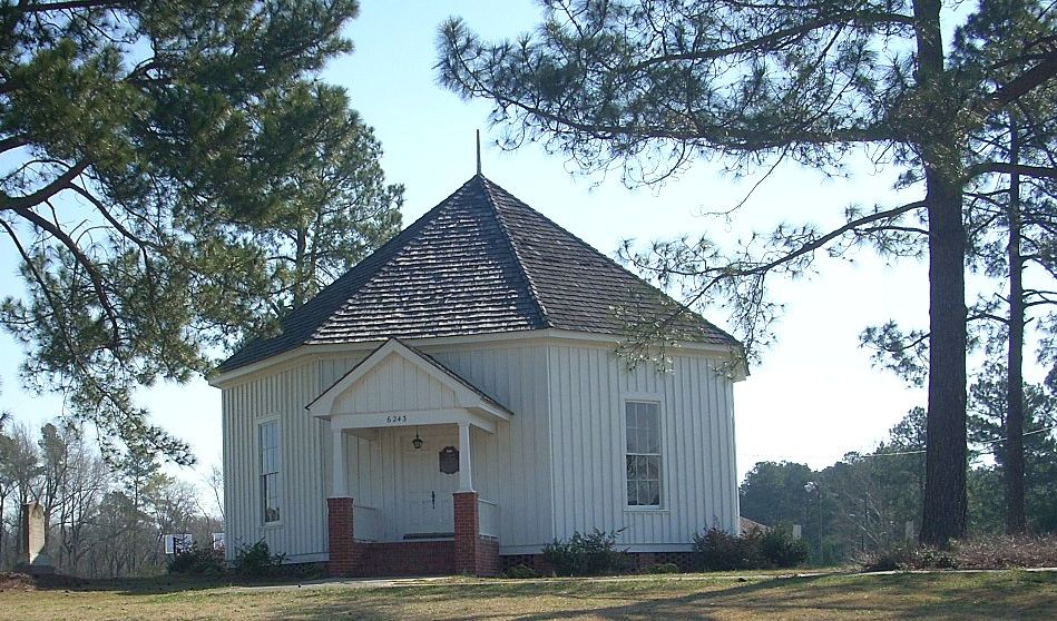
Falcon, a town of approximately 300 people in northern Cumberland County, is home to some of the descendants of the original Falcon residents. Falcon is best known as the birthplace of the Pentecostal Holiness Church. In January 1911, at the Octagon Tabernacle in Falcon, a formal agreement was signed merging two denominations to form the Pentecostal Holiness Church.
The Octagon Tabernacle was built in 1898 by Julius A. Culbreth as a location for prayer meetings. (Culbreth was also the founder of the town of Falcon.) Built with wood uprooted from a tornado, the tabernacle was built with its unique shape because it reminded Culbreth of tents that were used during revivals.
The Octagon Tabernacle stands today on West Street in Falcon. It was added to the National Register of Historic Places in 1983.
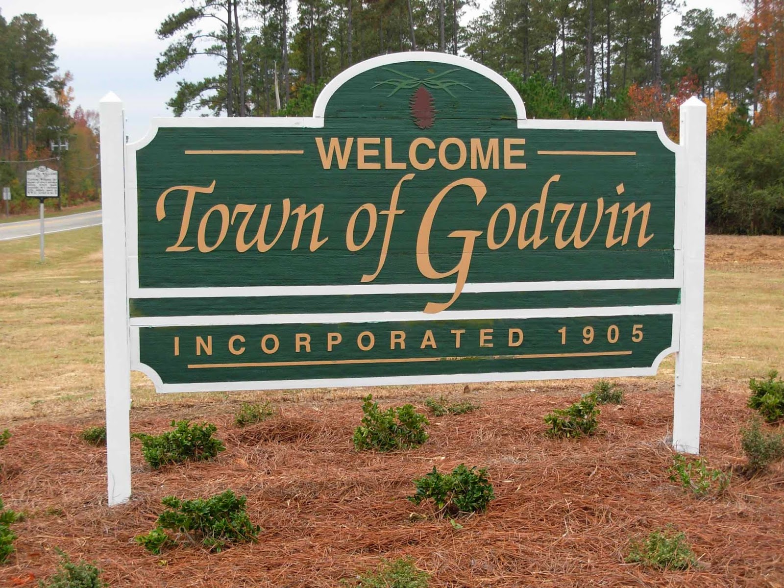
The Town of Godwin, located in northeastern Cumberland County, was charted in 1905 and was named for Issac William Godwin, the area’s first settler. In 1878, Godwin persuaded Wilmington & Weldon Railroad to build a station near his home. For years the train station was the community’s tie to the outside world. Around the time of WWII, the depot was torn down. The population of Godwin is approximately 155.
In 1789, the first permanent settlement (in the current area of Hope Mills) was organized by Little Rockfish Creek. By the mid-1800s the first cotton factory was opened on Little Rockfish Creek. A decade later, this factory was the second largest mill in North Carolina. Over the next 50 years, several other mills were built as the textile industry flourished, so did the Rockfish Factory Village. A story and houses were built for the families that worked the mills. The town of Hope Mills was incorporated in 1891.
Linden is in the northern part of Cumberland County near where the Cape Fear River and Little River meet. The original land for the town was part of a grant issued to Gilbert Patterson by King George II in 1744. The area’s first community was Choeffington, located roughly one mile east of Linden as it is today. The county’s first courthouse was built there in 1754 and was later relocated to Fayetteville in 1764. In 1800 when the railroad was constructed, people began to settle in what is now Linden. The first post office was established in 1896 and was given the name Linden. The name “Linden” came from a grove of nearby Linden trees. Linden trees no longer exist in the area. In 1901 a public school was built and the town was incorporated in 1913.
Long known for being a gateway community to Fort Bragg, the Town of Spring Lake now offers folks plenty of other reasons to visit. Travelers will find the heart of Spring Lake at the busy intersection of NC 24-87 and NC-210, and this town is also conveniently accessible to I-95 travelers, thanks to I-295.
You simply cannot visit Spring Lake without spending some time exploring and playing in the great outdoors. James Stillman Rockefeller, of Rockefeller family fame, once used his Long Valley Farm here as a winter retreat. Now that family’s farm, buildings, gristmill, and even home all belong to Carvers Creek State Park, a draw for tourists interested in exploring both nature and history.
Originally known as Blockersville, Stedman was named for the family of John C. Blocker. The name was shortened to Blockers when the stagecoach station and a post office were constructed and remained the same until the Cape Fear and Yadkin Valley Railroad was built from Fayetteville to Wilmington.
Foresighted citizens of the small settlement obtained a railroad station by donating the right-of-way. David and Kelly Sessoms provided land for the station, which was built by local residents. Nathan A. Stedman was instrumental in locating the railroad in the community and the Town was renamed in his honor.
In 1913, the town was incorporated by an act of the North Carolina Legislature, which provided for corporate limits of the town's one-mile square. It further provided that “no spirituous vinous or malt liquors shall be manufactured or sold within the corporate limits of said town.”
The Town of Wade was settled around the Wilmington & Weldon Railroad and was named for N.G. Wade. Mr. Wade was a local businessman who sold cross ties to the railroad. The Town was originally charted in 1869; however, this charter was later abandoned.
Wade was again chartered on March 8, 1913. This charter called for the election of a Mayor and three Commissioners. The dimensions described for the Town in the 1913 charter made Wade exactly 1-mile square. Following the ratification of this charter until 1936 the Town progressed with the establishment of a post office, jail, drugstore, street lights, and other businesses.
Harnett County is one of the fastest growing counties in North Carolina with approximately 136,000 residents. Harnett's tagline of "Strong Roots, New Growth," describes a county in transition, one that values its rural agricultural heritage while also embracing new growth and industry. Harnett County is optimally located just between North Carolina's capital city of Raleigh and the internationally recognized Research Triangle Park to the north, and the nation's largest military installation in Fort Bragg to the south. The County is also centrally located in North Carolina and is within close proximity to the Great Smoky Mountains and Blue Ridge Parkway, and to the numerous Atlantic Ocean beaches and the Outer Banks. Harnett County also possesses abundant natural resources including nearly 6,000 acres of park land and 26 miles of hiking and walking trails. Harnett is home to Raven Rock State Park and some of the best white water rapids in the region along the Cape Fear River.
View Harnett County's "Come Write Your Story" video below.

Angier, North Carolina is a community committed to excellence in public service and to enhancing the quality of life for all who live and work here. Guided by strong values of responsibility and effectiveness, the Town remains accountable to its citizens while promoting thoughtful growth and high-quality performance in everything it does.
Through cooperation and teamwork, Angier fosters a spirit of collaboration among Town staff, leadership, and residents—encouraging everyone to reach their greatest potential together. With sound planning and a focus on sustainable development, Angier is positioning itself at the forefront of progress in Harnett County.
At the heart of it all is a shared commitment to productive relationships, good governance, and a unified vision for the future—ensuring Angier continues to thrive as a welcoming, forward-thinking community.
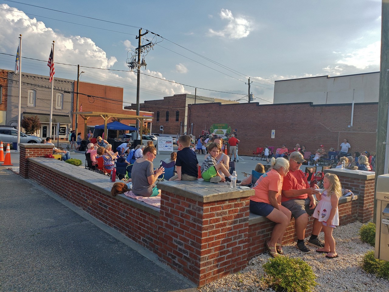
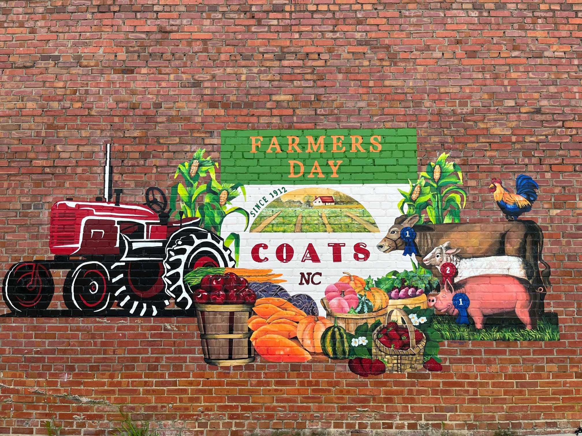
The Town of Coats’ renovation of a downtown parking lot has allowed this to become a gathering place for concerts and events.
Seating, landscaping, and a Farmers Day mural (by artist Elyse Johnson) have made the space more inviting.
The Coats Area Chamber of Commerce has developed a concert series known as “Crank-Up Coats.”
This brings residents and visitors to local shops and restaurants before concerts.
The new space has also been used by farm vendors and food trucks during special events.
We hope these types of small improvements will continue to lead to attractive spaces, business development, and more community events in the future.
Dunn is the largest city in Harnett County. Originally called Lucknow, what would become present-day Dunn was a sleepy hamlet compared to Averasborough, a much larger city on the Cape Fear River. After the Battle of Averasborough in 1865, most residents from Averasborough left for Lucknow, renamed Dunn in 1873. The city of Dunn was incorporated on February 12, 1887, at which time it was a logging town and a turpentine distilling center. The name honors Bennett Dunn, who supervised the construction of the railway line between Wilson and Fayetteville.
Dunn is located along Interstate 95, halfway between New York and Florida. The Dunn area offers many wonderful things to see, do, and eat! Great golf characterizes this region of North Carolina. There are two Civil War battlefields close to Dunn, dedicated to preserving the history of our great state. Dunn has great dining and shopping, too! Visit our downtown shops and restaurants to experience the friendly charm of Dunn. There are many other attractions, and we hope you will browse this website and see all that we have to offer.
Erwin’s history stretches back to colonial times through its connections to the nearby colonial settlement of Averasboro. Here, Timber Rafters along the Cape Fear River would stop for the night and resupply. Although long abandoned, historical accounts of Averasboro during the Revolutionary War, and as the site of one of the last battles of the Civil War, bring a rich history to Erwin that can still be explored today.
Originally, the town of Erwin was known as Duke, named after the Duke family members who were prominent stakeholders in the newly constructed Erwin Cotton Mill, completed in 1904. Later, in 1926, when Trinity College in Durham, NC, became Duke University, the town’s name was changed from Duke to Erwin.
The mill was the engine that powered Erwin until its closing in 2000. Even today, Erwin is still referred to as the “Denim Capital of the World” for the vast quantities of raw denim the mill produced for well over half a century.
Today Erwin is a thriving town with new business opportunities and a valued quality of life. If you are looking to relocate your family or business, we hope that you will consider Erwin your new home. Or, if you are just passing through, take a few moments and explore the many things Erwin has to offer. One thing is for sure: here you’ll find warm and friendly people who will make you feel welcome.
The Cape Fear River Trail Park is shown below and is located at 1002 S 13th St, Erwin, NC 28339.

Lillington is a growing community located along the Cape Fear River in the heart of Harnett County, and serves as the county seat.
The town of Lillington is named for John Alexander Lillington (c. 1725–1786), aka Alexander John Lillington, who was a Patriot officer from North Carolina in the American Revolutionary War, notably fighting in the Battle of Moore's Creek Bridge in 1776 and serving as brigadier general in the state militia.
Tucked into the southeast corner of North Carolina, known as the Coastal Plains, is beautiful Sampson County, which is bordered on the east by 300 miles of beaches and in the west the Blue Ridge and Great Smoky Mountain ranges. The County is rich in recreational activities, whether it be out on its waterways, trails and farms, enjoying a self-guided tour or at outdoor festivals in one of its small towns. Be surrounded by a lush, green, and picturesque setting.
Get to know Sampson County…the largest county in North Carolina. The people, the land, the heritage. Sampson County is a place to cultivate your spirit and feel free at heart. Enjoy our unique accommodations and attractions. Discover a place where you can explore! Enjoy being off the beaten path where there’s a little something for everyone.
For more tourist information on Sampson County, please click here.
![]()

Autryville is a vibrant community of hard-working and devoted people with a rich history and a promising future. Located between Fayetteville and Clinton, Autryville is home to many people who enjoy the benefits of living in a small rural town not far from the hustle and bustle of the city.
Autryville was incorporated in 1891 and named in honor of Captain James L. Autry, who brought the town to prosperity through the Cape Fear and Yadkin Valley Railroad Company and the transportation of goods from Autryville to places all over the world. Since then, it has become a place where everybody knows their neighbors and it's the perfect place to put down roots and grow.
Taylor Spell, Mayor Grayson Spell's wife, is shown above outside the Autryville Town Hall at the Free Little Library she helped bring to the Autryville community in October 2022.
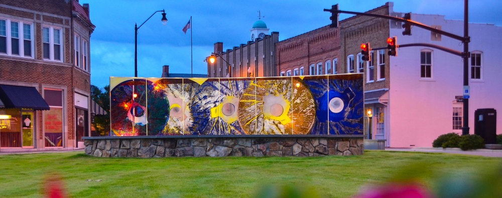
Clinton, an "All American City," is the county seat of Sampson County and the largest of the county's eight communities. Clinton is located near the geographical center of the county. Incorporated in 1822, the town was named for Brigadier General Richard Clinton who served in the American Revolution and as an elected official in the NC State Senate.
Incorporated in 1907, Garland is located seventeen miles south of Clinton on NC 701. In the late 1800's, it was a small crossroads community called Sloans Crossroads that grew up near the South River. The name of the town was later changed since it would have a railroad depot there. It was named for the assistant postmaster general of the U.S. at that time, Henry Garland.

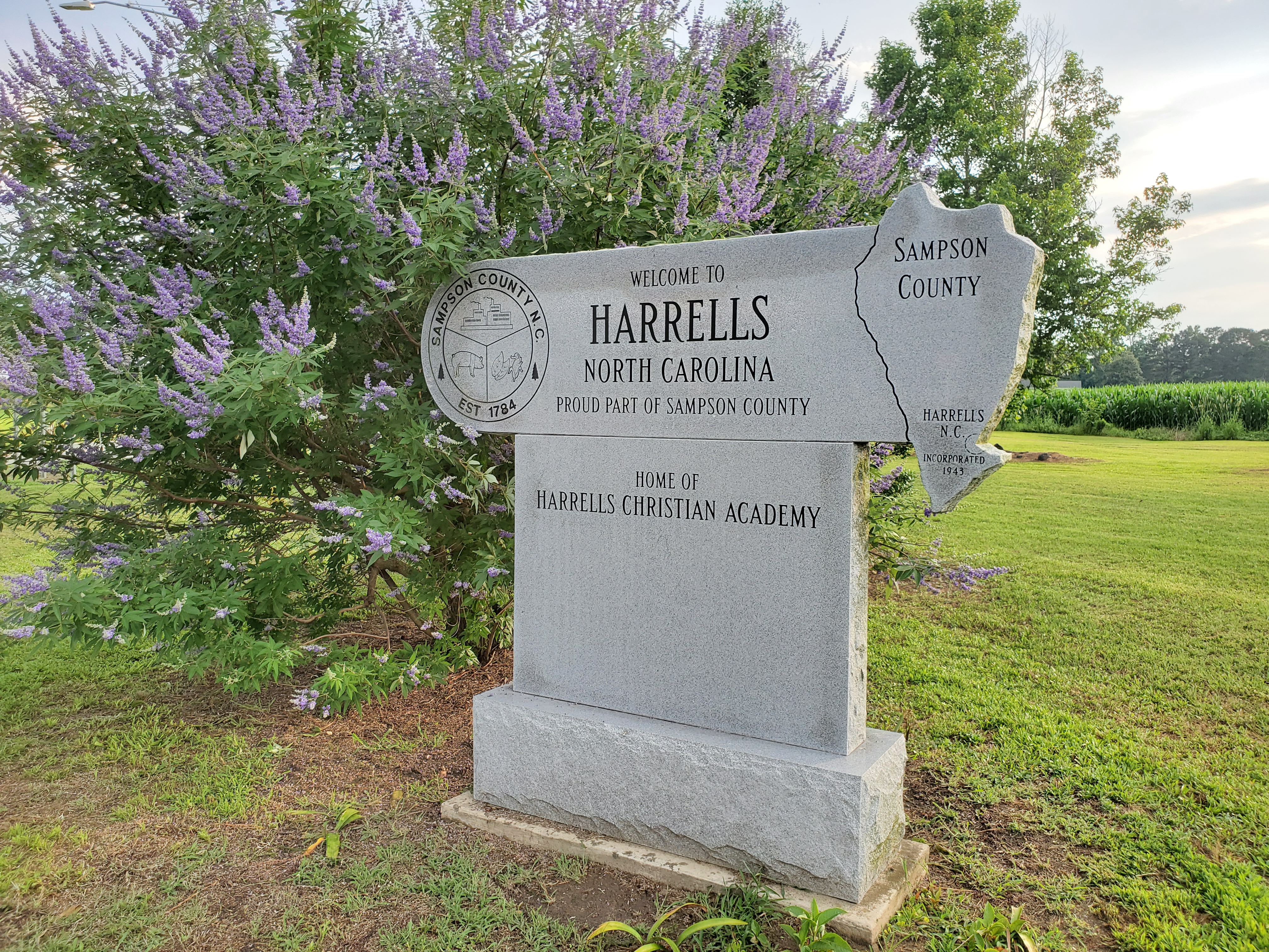
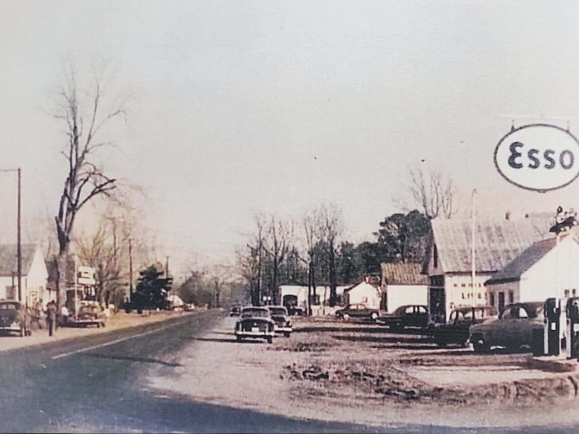
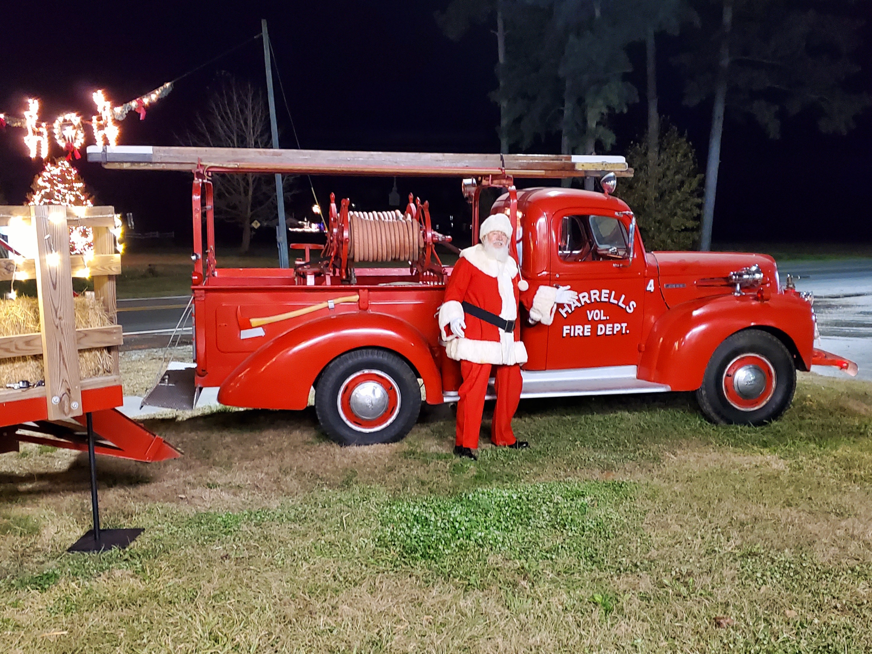
Located in southern Sampson County, Harrells was first incorporated in 1943 as Harells Store. In 1955 the name was changed to Harrells. The area is well known as an excellent location for hunters, who travel from miles around to enjoy the sport.
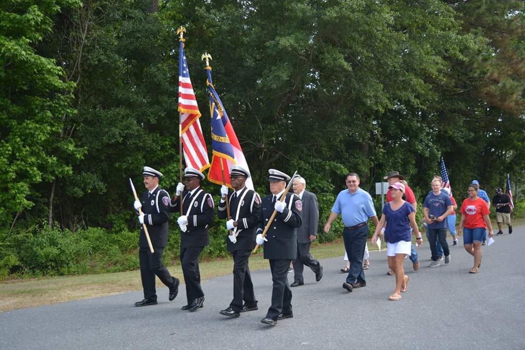
Come and join us for our Annual Sing Around the Tree (December 12, 2023 at 6 p.m.) and our Annual Memorial Day Ceremony (May 25, 2024 at 10 a.m.)
We have a wonderful building to rent for activities, reunions and events! Please call us at 910-532-4040 to check for availability!
The town of Newton Grove was first incorporated in 1879 as the New Town at the Grove, because of the prominent oak grove, then again in 1935 as Newton Grove.
Early courthouse records of Sampson County show that the Newton Grove post office was once known as Blackman's Store. Another post office, six miles west of Newton Grove, was known as Blackman's Mills from 1858 to 1914. The Blackman family were affluent planters who settled in the area in the early 18th century. They were descendants of Jeremiah Blackman, mariner of London who captained several ships that brought English settlers to the Colony of Virginia in the 17th century.
Roseboro came to being when the Cape Fear and Yadkin Valley Railroad built a line from Fayetteville to Wilmington, and it joined Stedman, Autryville, Garland, Kerr Station, and several other communities that sprang to life when depots were built and commerce came into being. The railroad was built in 1889-1890 and the town began to grow from a tiny crossroads with one store to the town of some 1,400 people who reside there today.
There are two stories of how Roseboro got its name, but research has proven it to be named after John M. Rose, secretary of the Cape Fear and Yadkin Valley Railroad. This town has grown since 1889. Roseboro was incorporated in 1891 by the North Carolina General Assembly and the first mayor was Almond Butler, an ancestor of Miss Ossie Butler, long-time town clerk for Roseboro. According to a copy of the town charter on file in the town office, E.R. Johnson was the first town marshal. All but one of the first commissioner’s last names is still prominent in the town.
A museum filled with Town artifacts can be found in the Town Hall boardroom.
Please visit the following website for more information - https://www.roseboronc.com/about-roseboro/page/history-roseboro.

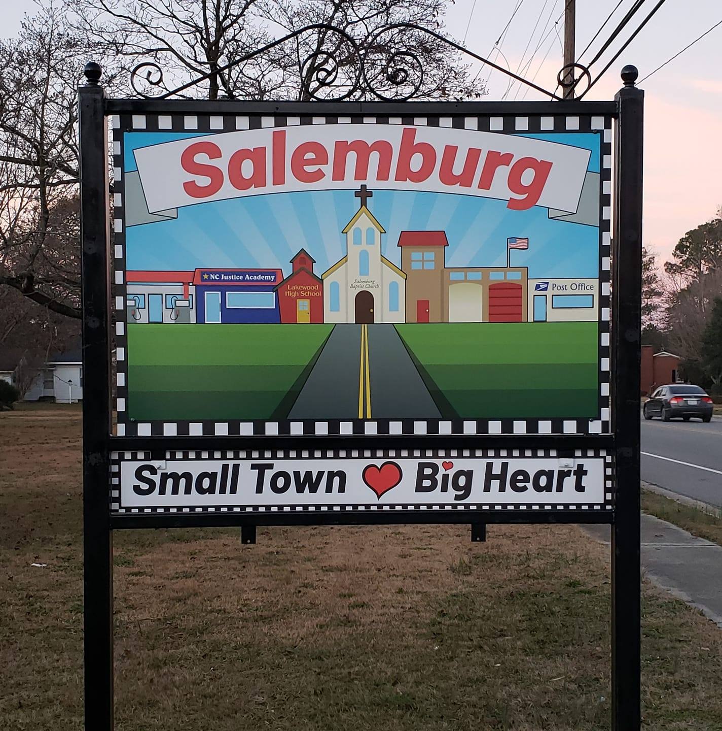
The Town of Salemburg was incorporated in 1905 and was founded on the basis of religion and education; its name was derived from the Old Salem Baptist Church. Salemburg was named the first model community in the United States of America in 1914 by the Rockefeller Foundation. Salemburg is home to the North Carolina Justice Academy and the Tarheel ChalleNGe Academy.
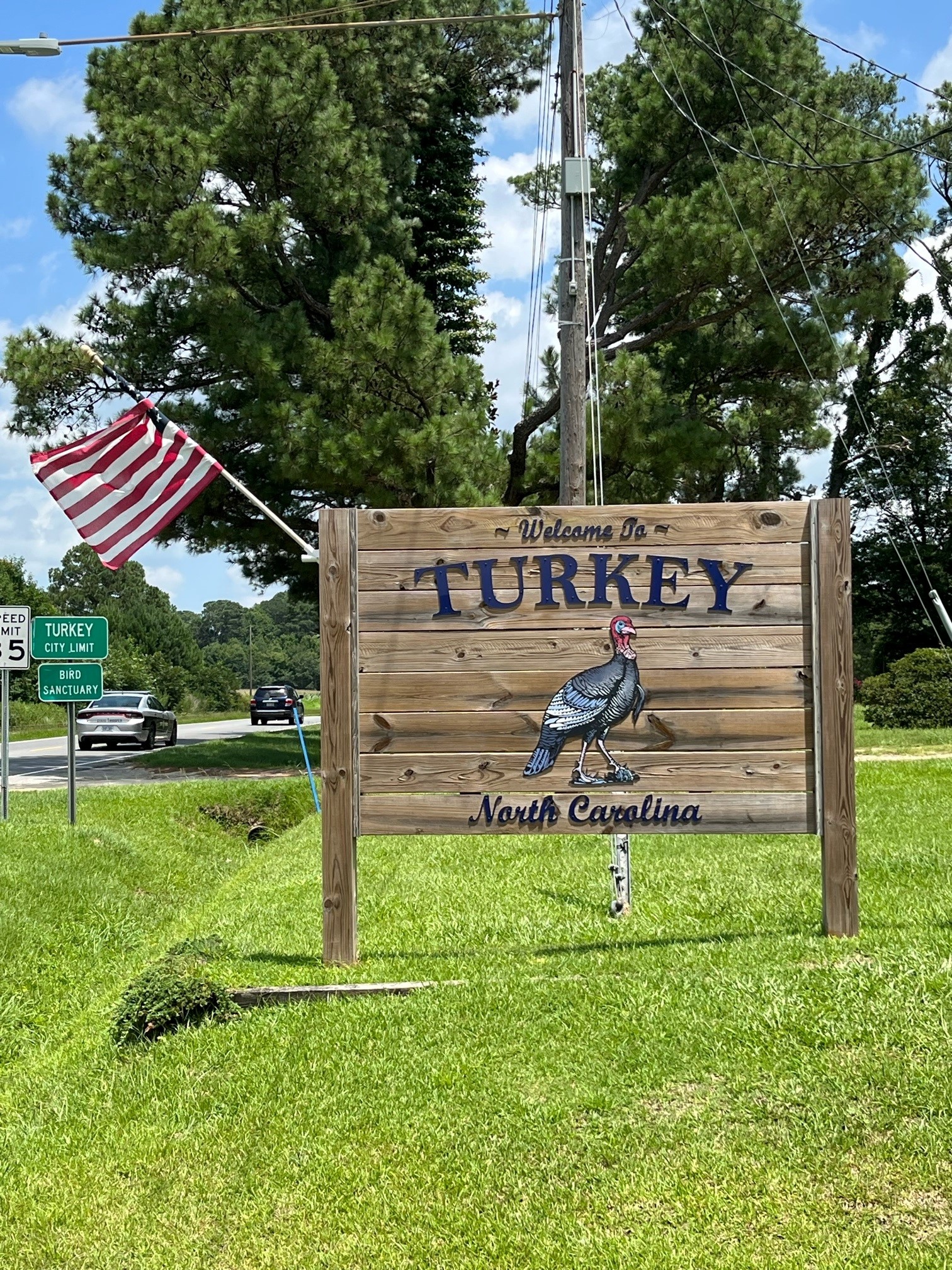
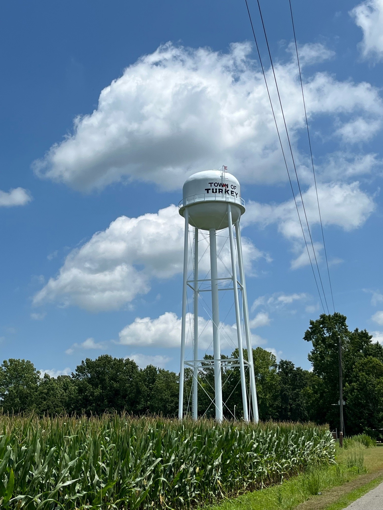
The name of the town was once Springville. During the town's early history, a large group of wild turkey moved into the area, and the people regarded that as a sign. The town's post office sometimes has received mail intended for the Republic of Turkey. At one time, the post office received letters from stamp collectors asking for a Thanksgiving Day postmark.